
Scientist, safecracker, etc. McDevitt Professor of Computer Science and Law at Georgetown. Formerly UPenn, Bell Labs. So-called expert on election security and stuff. https://twitter.com/mattblaze on the Twitter. Slow photographer. Radio nerd. Blogs occasionally at https://www.mattblaze.org/blog . I probably won't see your DM; use something else. He/Him. Uses this wrong.
The Inquirer building also housed (until a few years before they moved) their printing plant, making it one of the last major dailies where it was at least theoretically possible for an editor to run downstairs and yell "stop the presses!" if a major story came in. But I'll bet that never actually happened.
This was captured with a DSLR and a 19mm shifting lens. There's a bit of barrel distortion from the lens, but I decided this image looked better uncorrected.
The Inquirer building, completed in 1924, to me evokes a cigar-chomping editor who calls everyone "kid" and who says things like "bring me back a scoop".
The building had been vacant for a few years when this photo was made, the paper having moved to cheaper and leaner facilities. It has since been repurposed as police headquarters.
Philadelphia Inquirer Building, Philadelphia, PA, 2017.


Philadelphia Inquirer Building, Philadelphia, PA, 2017.
EXTRA! edition pixels at <https://www.flickr.com/photos/mattblaze/32309131520>
#photography
Precisionism, a roughly century-old modernist American art movement related to cubism, is a strong influence on my work. Its practitioners included Joseph Stella, Georgia O'Keeffe, and Charles Demuth. Paul Strand was probably the most prominent precisionist photographer.
Precisionism is concerned with structure and geometry as well as the relationship between humans, machines, and the industrial landscape.
I'm interested in how the precisionists might interpret the world as it's become today.
These (de-electrified) catenary wires were captured with a Sinar P camera and a 180mm lens on Polaroid 55 film (scanned) along the former Pennsylvania Railroad's "high line" in west Philadelphia near the university.
This abstract composition references a 1936 painting, "Electrification", by precisionist artist Ralston Crawford; see https://hirshhorn.si.edu//collection/artwork/?edanUrl=edanmdm:hmsg_72.75
De-Electrification, Philadelphia, PA, 2005.


De-Electrification, Philadelphia, PA, 2005.
Too many pixels at <https://www.flickr.com/photos/mattblaze/2155416560>
#photography
Captured with the Rodenstock 23mm/5.6 HR-Digaron-S lens and Phase One IQ4-150 Achromatic Back, polarizer+590nm (red) filter.
Washington DC is not a city of many notable inclines, and so lacks the proliferation of "step streets" found in places like San Francisco and The Bronx. Most famous are Georgetown's Exorcist Steps (so named for the fatal effect they have on members of that profession), and, shown here, Kalorama's Spanish Steps, which occupy 22nd St NW between S and Decatur.
Spanish Steps, Kolorama, Washington, DC, 2023.
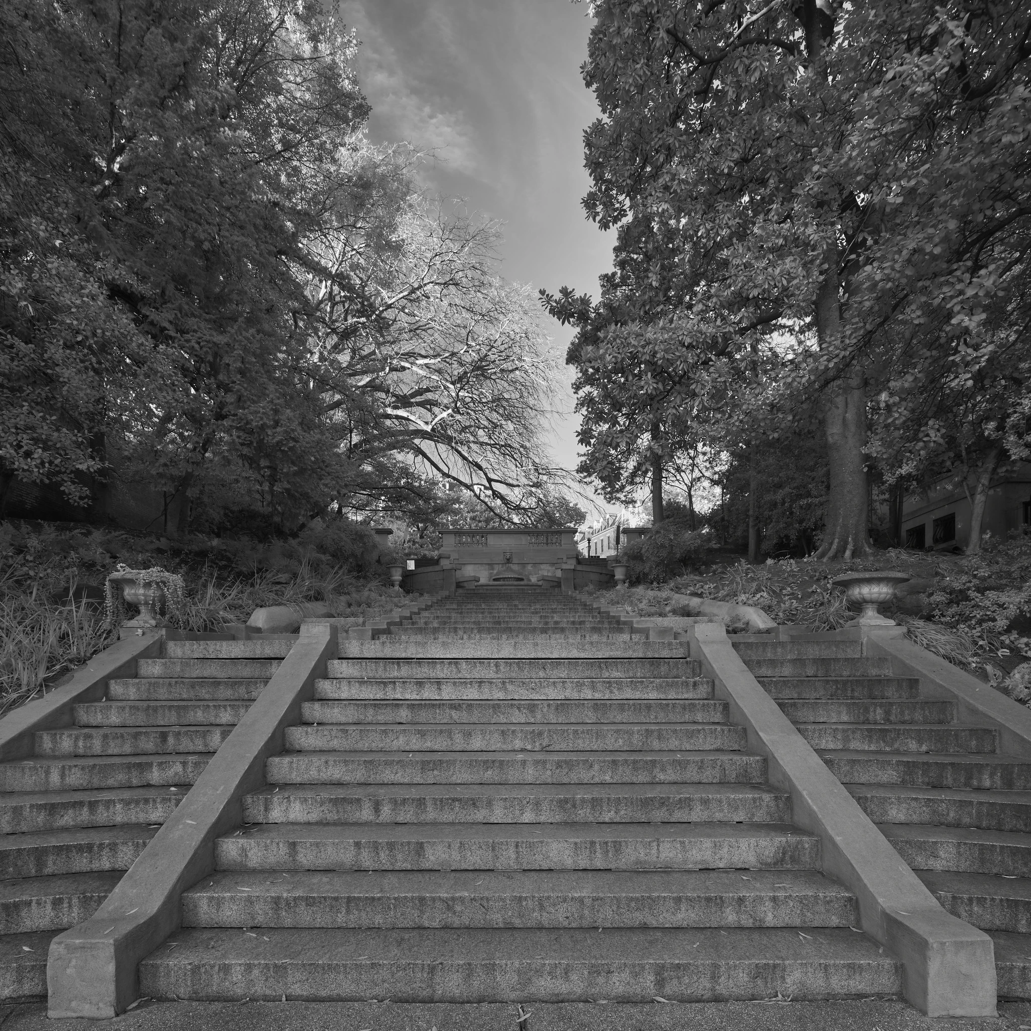
Spanish Steps, Kolorama, Washington, DC, 2023.
Plenty of pixels, for pedestrians only, please, at <https://www.flickr.com/photos/mattblaze/53335651417>
#photography
This is an IR photo, made in afternoon light with a 1000nm filter and the Phase One Achromatic back. 1000nm is a fairly long IR wavelength, rendering a soft, surreal look. (IR photos are usually captured around 750-800nm). I used the Rodenstock 50mm HR-Digaron, which leaves the moon small in the frame but still recognizable.
This is (of course) a nod to Ansel Adams' "Moonrise, Hernandez, NM". But Adams' 1941 photo was made just after sunset, in the visible spectrum. See https://www.moma.org/collection/works/53904
Urban Moonrise, 2020.

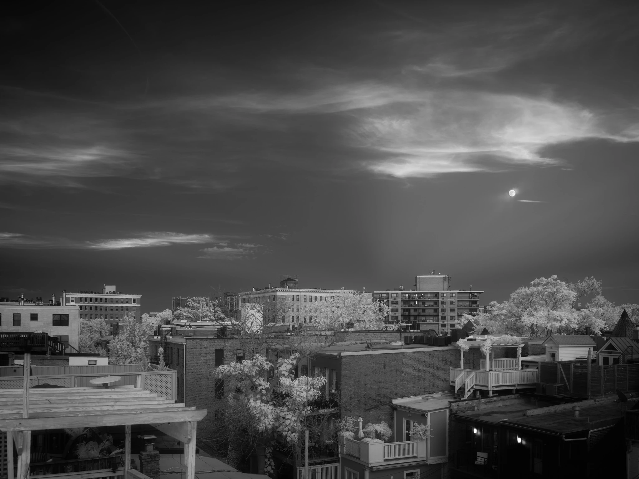
Urban Moonrise, 2020.
Excess pixels at <https://www.flickr.com/photos/mattblaze/50083929243/>
#photography
@[email protected] @[email protected] And don't get me started about WGU-20...
@[email protected] Right?
@[email protected] There are some archives out there, but they're scattered and largely poorly indexed.
@[email protected] Bolinas became the transmit site for Point Reyes (for AT&T, RSA, and the USGC).
Ships on the high seas occasionally currently make some use of shortwave radio, but its importance has greatly diminished in the last few decades. The Coast Guard still maintains a "watch" on emergency shortwave frequencies, listening for distress calls, but most transoceanic ships are now equipped with more modern, higher-bandwidth satellite communications systems.
There were three AT&T radiotelephone sites in the continental US, each with its own transmit and receive antenna farms: Ocean Gate, NJ (shown here, serving the North Atlantic), Miami (serving the Caribbean and the Gulf), and Point Reyes, CA (serving the Pacific).
All the sites have by now been razed, either for redevelopment or as nature preserves. The antennas are mostly gone now.
Captured with a DSLR and a 24mm shifting lens.
During the 20th century, AT&T operated a shortwave "radiotelephone" service for vessels on the high seas. Ships could contact an operator, who could connect them with any landline telephone number they wished.
The North Atlantic station, callsign WOO, occupied expansive transmit and receive "antenna farms" in marshlands near the shore in central New Jersey.
Rendered obsolete by satellites, the service ceased operation on November 9, 1999.
Shortwave "Discone" Antenna, Former AT&T High Seas Radio Site, Ocean Gate, NJ, 2009.

Shortwave "Discone" Antenna, Former AT&T High Seas Radio Site, Ocean Gate, NJ, 2009.
All the pixels, somewhat obsolete, at <https://www.flickr.com/photos/mattblaze/4141766569/>
#photography
This abstract photo, captured inside a lighthouse, is mostly a visual pun on the concept of a lighthouse, as well as a study in diagonal and radiating lines.
It was very tight quarters, especially with the tripod. But a tripod was essential here (less for sharpness - at 1/3000 sec- than for composition and framing).
Lighthouse, 2014.

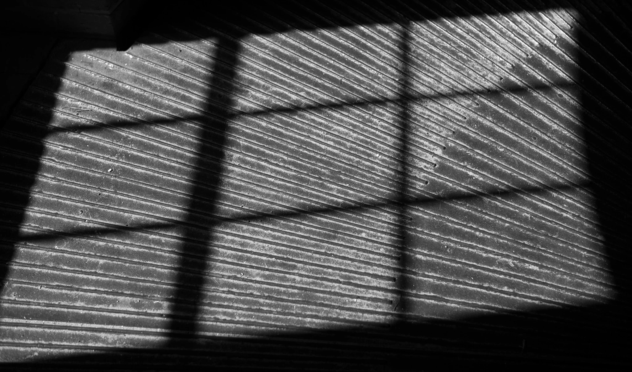
Lighthouse, 2014.
All the pixels at <https://www.flickr.com/photos/mattblaze/15393439037/>
#photography
@[email protected] Your complaint is noted. I’ll get right on it.
@[email protected]ge yeah, that’s what I was thinking of
@[email protected] I remember something like that just outside London, now a privately operated museum. Looks like a suburban house from the street.
Obsolete secret infrastructure like CARTWHEEL tower, only revealed decades later, intrigues me not just for its scale and design, but also for the obvious question it gives rise to. If this stuff effectively managed to stay unnoticed for decades, what newer secrets are hiding under our noses today?
Despite CARTWHEEL being located in the middle of a residential neighborhood in a busy city and staffed by military personnel, officials went to great lengths to conceal the true purpose of these towers. They hid in plain sight, appearing to be silos or water towers (they even used civilian water trucks to send crews to some of the towers).
It was only after the cold war ended that the details of the network were declassified.
"Cartwheel" Tower, Fort Reno, Washington, DC, 2020.
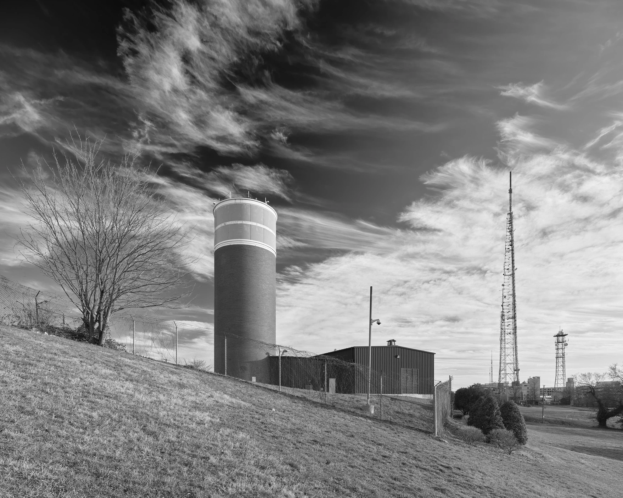
"Cartwheel" Tower, Fort Reno, Washington, DC, 2020.
All the now-declassified pixels at <https://www.flickr.com/photos/mattblaze/49576247768>
#photography
Smithsonian "Castle", National Mall, Washington, DC, 2021.

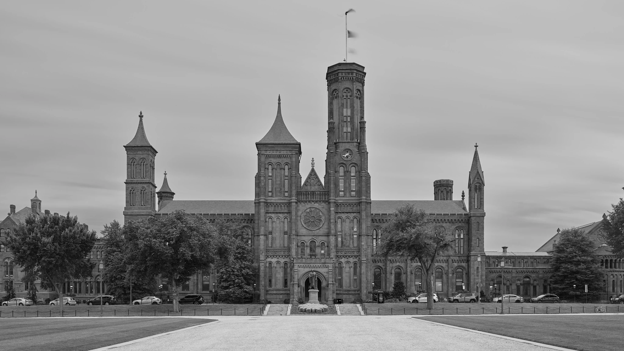
Smithsonian "Castle", National Mall, Washington, DC, 2021.
All the pixels, carefully preserved behind museum-grade glass at <https://www.flickr.com/photos/mattblaze/51221570481>
#photography
US Capitol Building, Washington, DC, 2021.

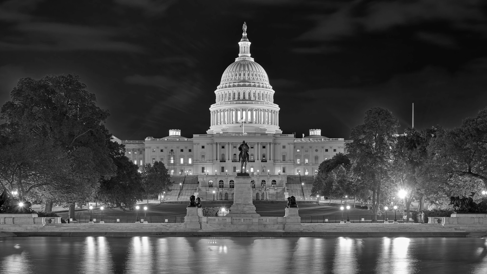
US Capitol Building, Washington, DC, 2021.
Too many pixels at <https://www.flickr.com/photos/mattblaze/51221569646>
#photography
Schuylkill Co-Generation Plant and Arsenal Bridge, Philadelphia, 2018.


Schuylkill Co-Generation Plant and Arsenal Bridge, Philadelphia, 2018.
Industrial quantities of pixels at <https://www.flickr.com/photos/mattblaze/42660696454>
#photography
Edge of Pacific Ocean, 2014.


Edge of Pacific Ocean, 2014.
All the pixels that washed up on the shore at <https://www.flickr.com/photos/mattblaze/14820439752/>
#photography
AT&T Long Lines "Oak Hill" Tower, San Jose, CA, 2021.

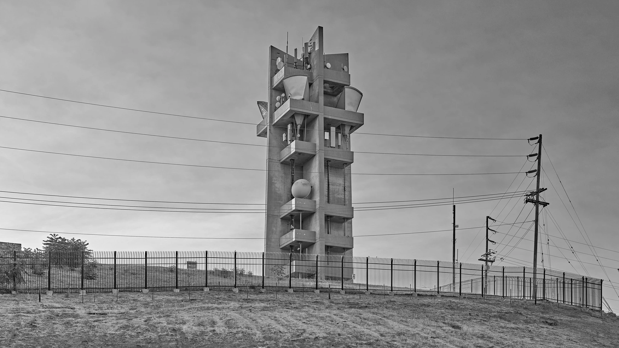
AT&T Long Lines "Oak Hill" Tower, San Jose, CA, 2021.
Highly regulated pixels at <https://www.flickr.com/photos/mattblaze/51261791084>
#photography
Red Rock Canyon, NV, 2011.

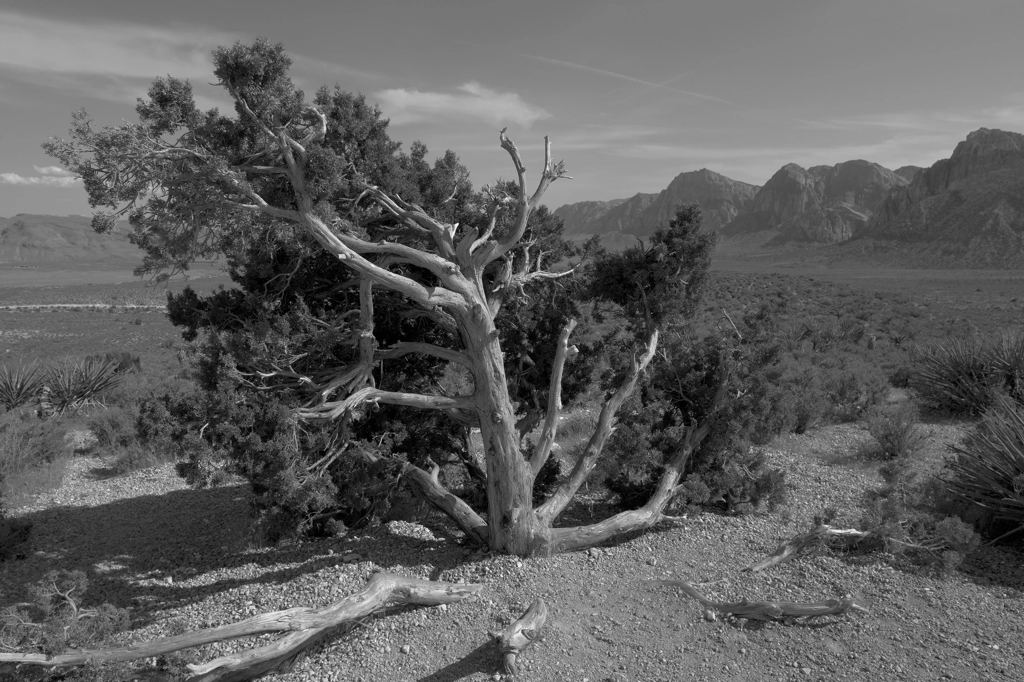
Red Rock Canyon, NV, 2011.
All the pixels at <https://www.flickr.com/photos/mattblaze/5766414314>
#photography
Construction Site, 270 Park Avenue, NYC, 2021.

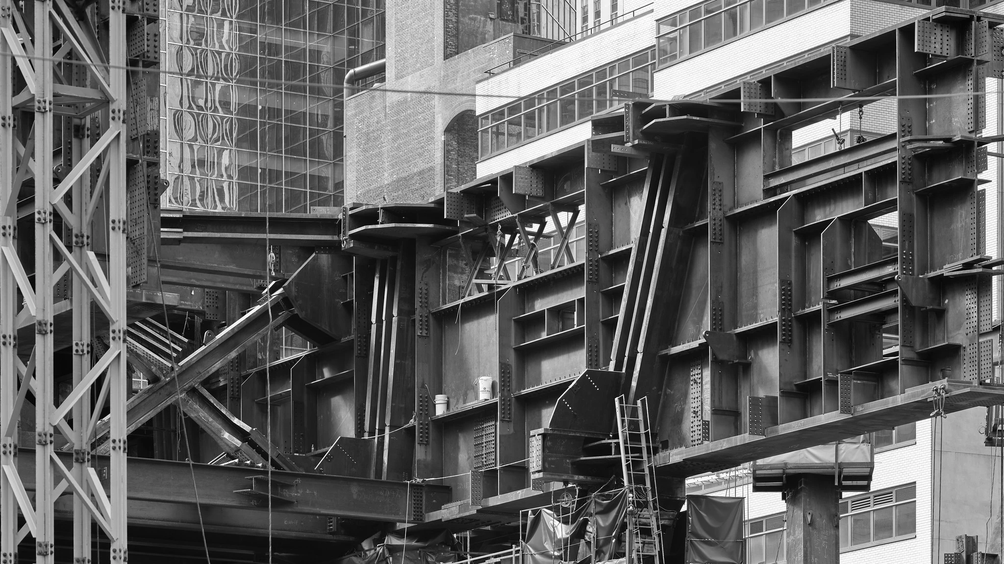
Construction Site, 270 Park Avenue, NYC, 2021.
Too many pixels at <https://www.flickr.com/photos/mattblaze/51382836481>
#photography
Bethesda Fountain, Central Park, NYC, 2013.
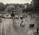

Bethesda Fountain, Central Park, NYC, 2013.
Several additional pixels at <https://www.flickr.com/photos/mattblaze/10374715704>
#photography
UN Secretariat Building, NYC, 2021.

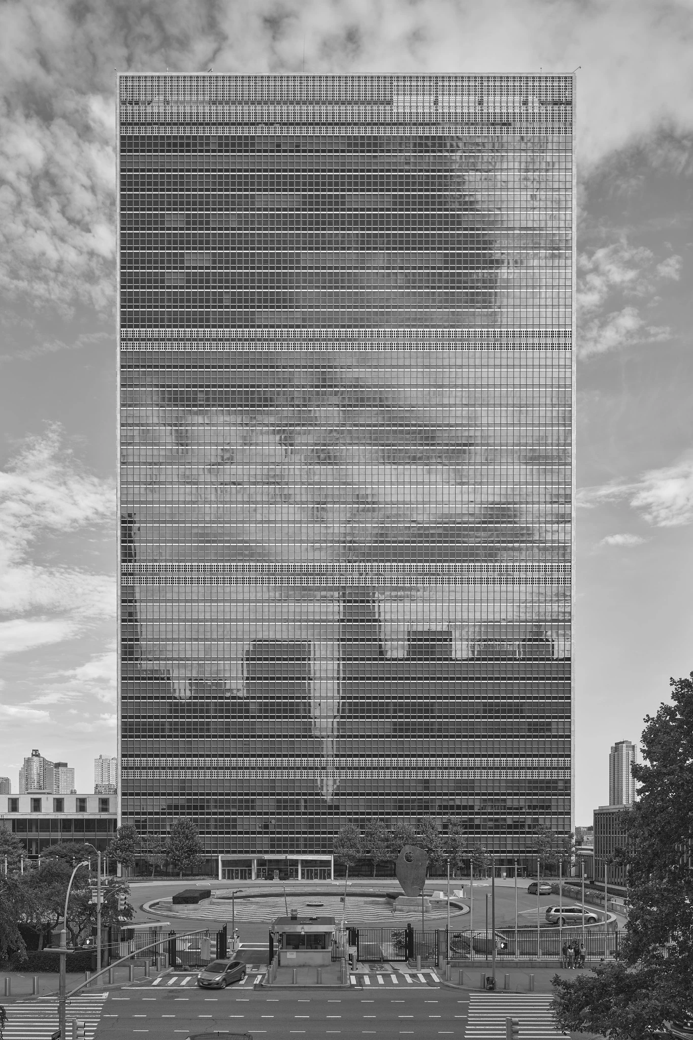
UN Secretariat Building, NYC, 2021.
All the pixels, pretending to get along, at <https://www.flickr.com/photos/mattblaze/51381729335>
#photography
Stone House (with Couch), Harvard, CA, 2010.

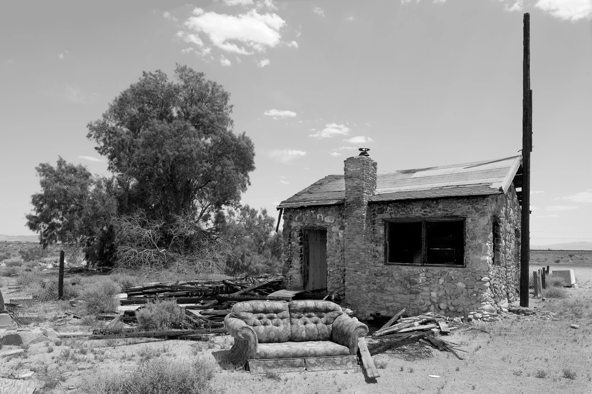
Stone House (with Couch), Harvard, CA, 2010.
Abandoned pixels, exposed to the elements, at <https://www.flickr.com/photos/mattblaze/4611078542>
#photography
Queensborough (59th Street) Bridge, NYC, 2019.

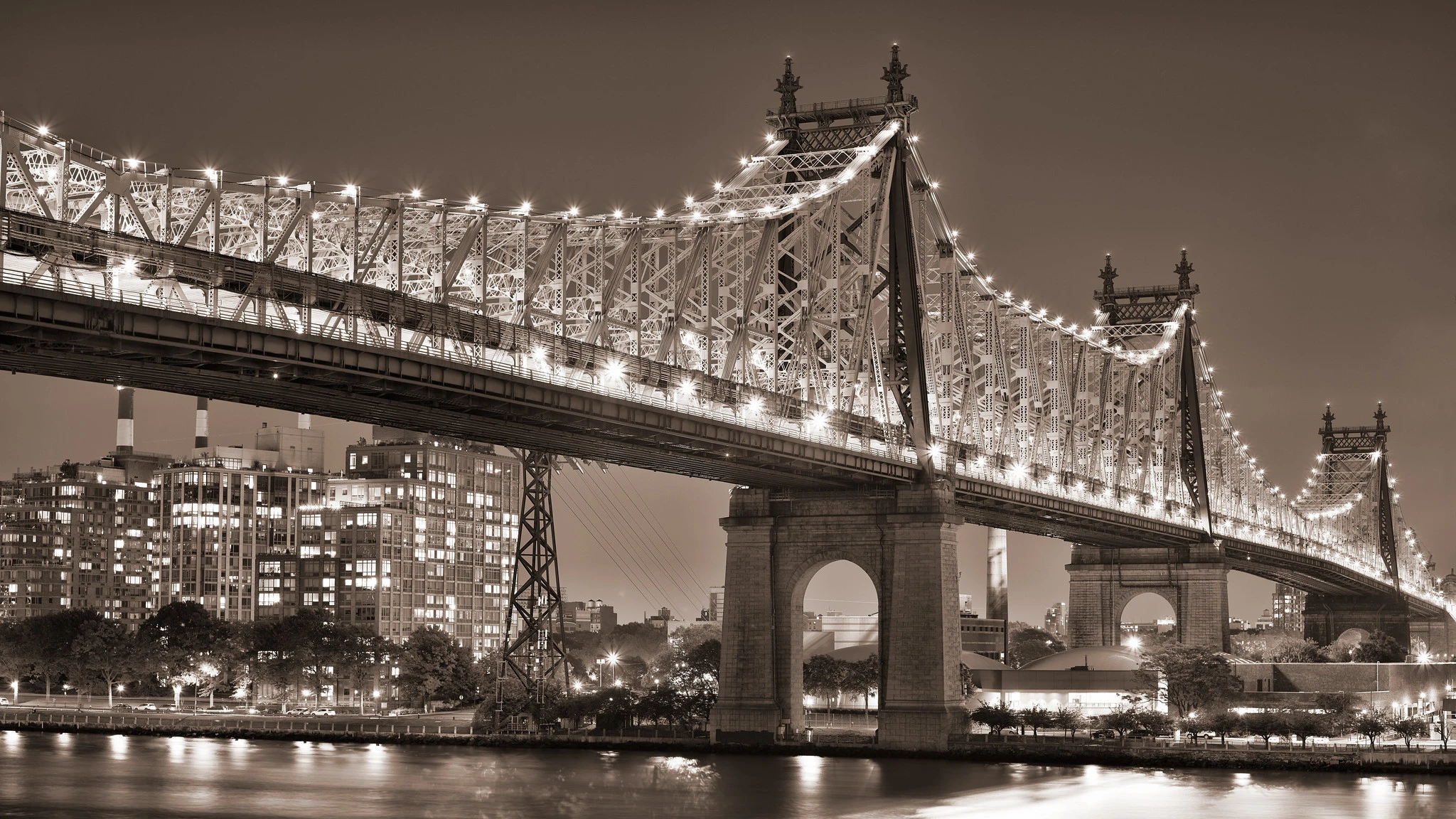
Queensborough (59th Street) Bridge, NYC, 2019.
Excessively many pixels, but you can still feel groovy about them, at <https://www.flickr.com/photos/mattblaze/48418025131/>
#photography
AN/FPS-24 Radar Tower, Mt. Umunhum, Los Gatos, CA, 2024.

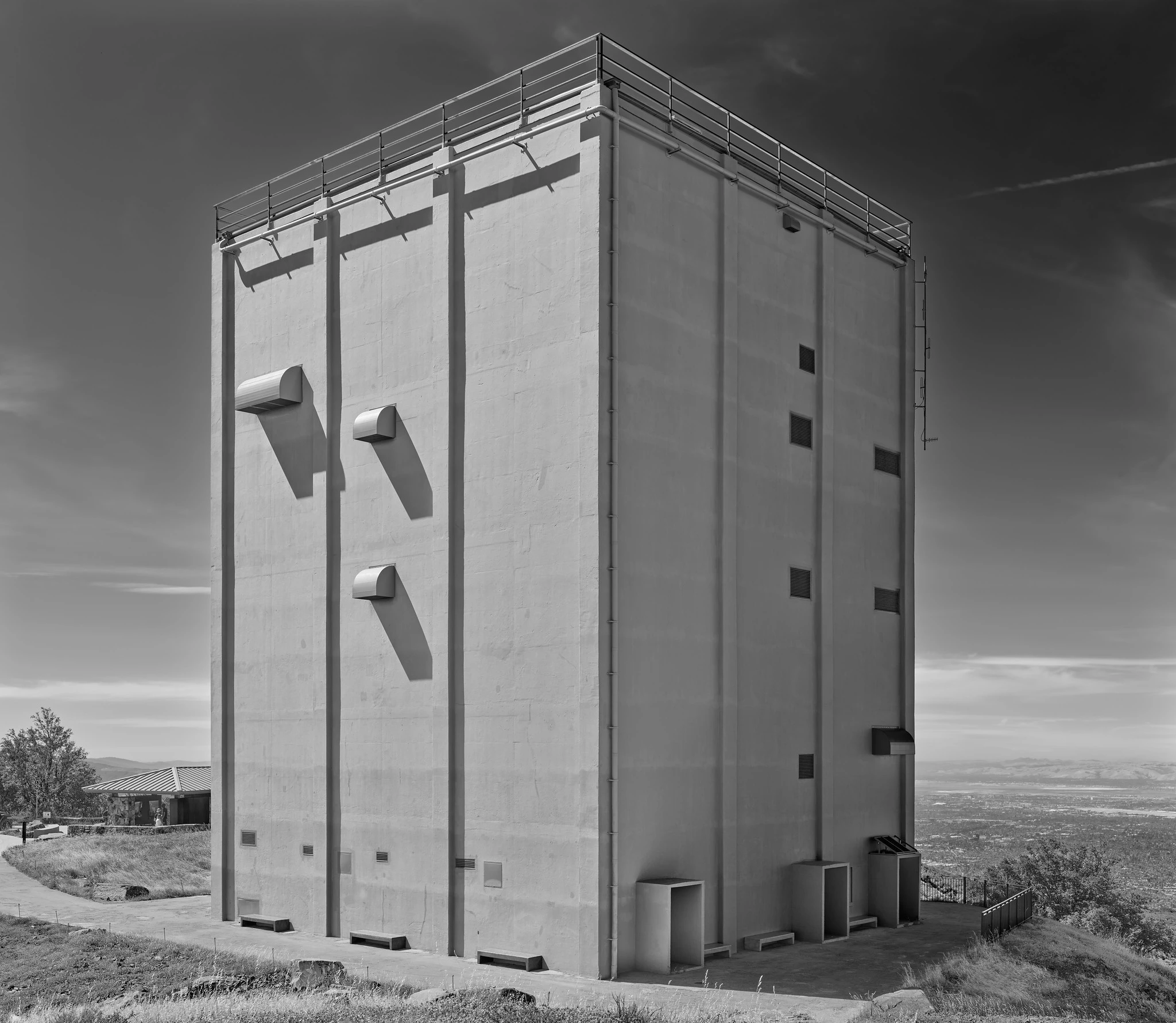
AN/FPS-24 Radar Tower, Mt. Umunhum, Los Gatos, CA, 2024.
Cold war era pixels, no longer likely to interfere with your TV reception, at <https://www.flickr.com/photos/mattblaze/53796724938/>
#photography
Ruined Carfloat Tracks (Detail), Port Richmond, CA, 2011.


Ruined Carfloat Tracks (Detail), Port Richmond, CA, 2011.
Slightly charred pixels at <https://www.flickr.com/photos/mattblaze/5485081030>
#photography