Search
Why Japan Looks the Way it Does: Zoning

YouTube Video
Click to view this content.
cross-posted from: https://lemmy.world/post/17568740
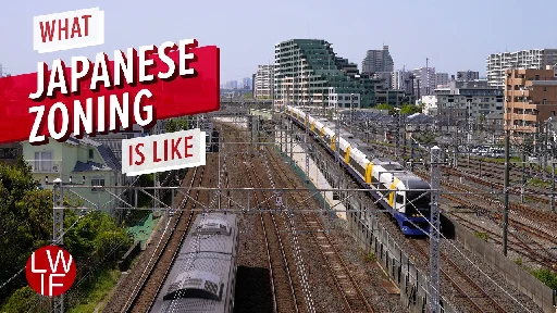
> >If you've seen my videos about Japan, you may have wondered why it looks the way it does. Today I'm going to explain it through zoning. > > >Special Thanks to Lisa for her guidance on the topic. > > Sources: > >1. Urban Land Use Planning System in Japan (English): https://www.mlit.go.jp/common/001050453.pdf > >1. Urban Land Use Planning System in Japan (日本語): https://www.mlit.go.jp/common/000234476.pdf > >1. Urbanchoze Japanese Zoning: http://urbankchoze.blogspot.com/2014/04/japanese-zoning.html > >1. Katsushika Shin-Koiwa Area Zoning Map: https://www.sonicweb-asp.jp/katsushika/map?theme=th_16#layers=dm%2Cth_17&pos=139.86549388299818%2C35.71741330582935 > >1. Tokyo Zoning Map: https://cityzone.mapexpert.net/ZoneMap?L=13123&N=%E6%B1%9F%E6%88%B8%E5%B7%9D%E5%8C%BA > >1. Kyoto Bankruptcy: https://www.japantimes.co.jp/news/2021/09/20/business/kyoto-bankruptcy-tourism/ > >1. Kyoto Town Development: https://www.city.kyoto.lg.jp/tokei/cmsfiles/contents/0000281/281300/2shou.pdf > >1. Kyoto New Height Limits: https://www.japantimes.co.jp/news/2007/09/02/national/kyoto-enforces-ad-ban-building-height-changes/ > >1. Kyoto City Landscape Policy https://whc.unesco.org/document/116517 > >1. Burnaby Zoning Map: https://www.burnaby.ca/services-and-payments/maps-and-open-data > >1. Simcity 1989: https://archive.org/details/msdos_SimCity_1989 > >1. Government illustration: https://www.irasutoya.com/2021/10/blog-post_85.html >